Distance: 60Km
Elevation Gain: 627m
Estimated Time To Complete: 3 – 4 hours
Route Profile: Rolling
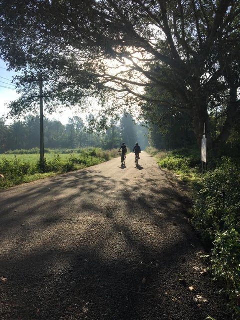
Road Quality: Smooth tarmac
Traffic Level: Sparse
Strava Route Link: https://www.strava.com/routes/22917036
Route Start Point: HAL Post office, Old airport road
Difficulty Level: Beginner
Avalahalli Forest is located towards the northern corner of Bangalore in already a green neighborhood of Yelahanka. The forest is home to several species of flora, fauna and birds and is Majorly covered by Eucalyptus trees and the other part is quite rocky and dry. The place offers you a beautiful hill-top view of the Hesaraghatta region.
Head towards Cubbon park via the old airport road. Take a right and get on the Bellary road on passing Cubbon park. Stay on Bellary road till the famous Jakkur Aerodrome famous for its glider planes. Just after Jakkur aerodrome take a right towards Yelahanka and getting on the Doddaballapur road. After passing the C.R.P.F grounds take a right onto a country road that leads you to the Forest.
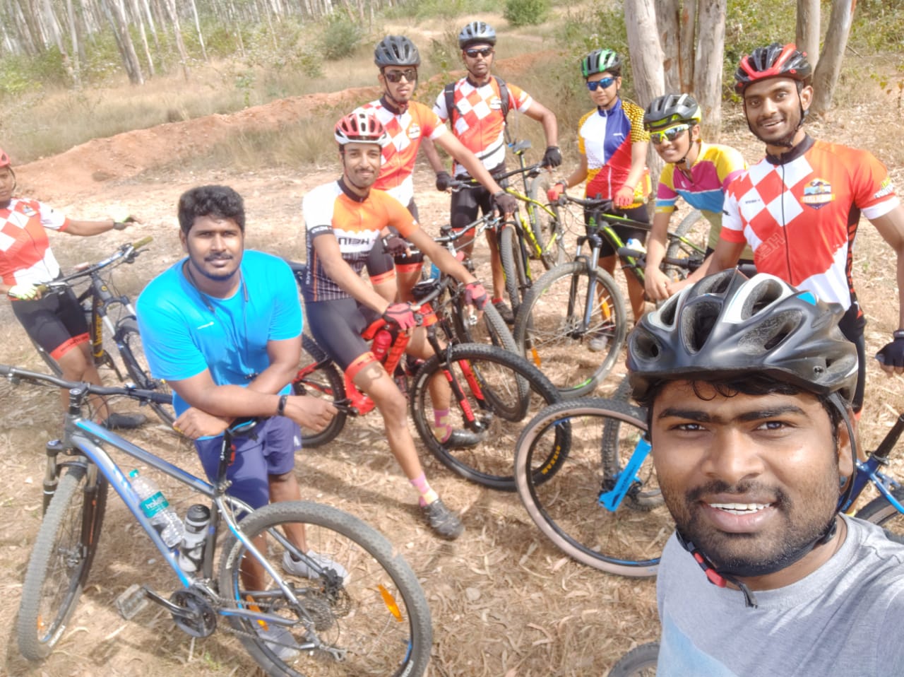
On reaching here, one can go mountain biking, sightseeing or finding peacocks.
The route for the way back is almost the same only a few different turns at Cubbon park due to one way streets. Stop by the side of the road and take a look at the map on Strava in case you feel you missed a turn.
The traffic on this road is sparse with milk lorries and Tempos . There are quite a few shops for a pit stop around Yelahanka. Get some fuel into the system and be ready to ride through some smooth roads.
We conduct rides and use this and other popular routes that riders seem to enjoy. Do join us every Sunday at 6:30 AM.
USEFUL INFO
